http://antarvasnavideos.pro sex videos kinky babe fisting her large pussy. https://bigboobslovers.net/ hungry mom loves throat fucking.
13 October 2022
13 October 2022
Categories
The ash produced by forest fires is a complex mixture of organic and inorganic particles with many properties. Amounts of ash and char are used to roughly […]
14 August 2022
14 August 2022
Categories
Several new activities have been stimulated by the work within the Harmonious COST Action. An example is represented by the recent work by László Bertalan et al. (2022) […]
9 August 2022
9 August 2022
Categories
VISION is open-source software written in MATLAB for video stabilisation using automatic features detection. It can be applied for any use, but it has been developed […]
29 July 2022
29 July 2022
Categories
The ash produced by forest fires is a complex mixture of organic and inorganic particles with many properties. Amounts of ash and char are used to […]
24 January 2022
24 January 2022
Categories
This set of three documents represents a blueprint of an Operations Manual for UAS operations (OM) targeting environmental studies, accompanied by an Emergency Response Plan (ERP) and an example of […]
2 December 2021
2 December 2021
Categories
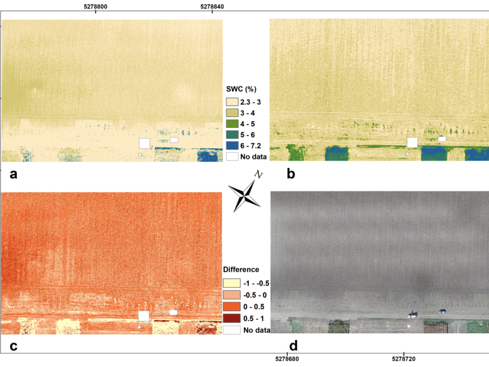
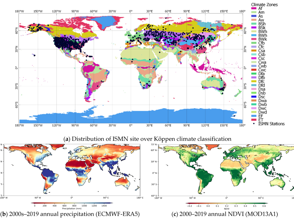
The inherent biases of different long-term gridded surface soil moisture (SSM) products, unconstrained by the in situ observations, implies different spatio-temporal patterns. In this study, the […]
23 September 2021
23 September 2021
Categories
While the availability and affordability of unmanned aerial systems (UASs) has led to the rapid development of remote sensing applications in hydrology and hydrometry, uncertainties related […]
5 September 2021
5 September 2021
Categories
Unoccupied aerial systems (UASs) are frequently used in the field of fluvial geomorphology due to their capabilities for observing the continuum rather than single sample points. […]
5 September 2021
5 September 2021
Categories
Ecosystem complexity is among the important drivers of biodiversity and ecosystem functioning, and unmanned aerial systems (UASs) are becoming an important tool for characterizing vegetation patterns […]
website
big black teen apparel theft.http://desivideos4k.com/ cassandra nix and eva karera threesome.

